The southern tip of Portugal’s long, western coast is marked by the imposing headland of Cape St. Vincent. Around the corner lies the Algarve, which stretches east to the border with Spain at the Rio Guadiana. The western end of the Algarve is characterised by weather sculpted caramel coloured cliffs. Further east, the coastline softens into miles of golden sandy shore.
The waters of the Algarve provide a welcome respite from the constant swell of the Atlantic, and its lagoon anchorages offer complete shelter from the ocean swells. The prevailing northerly winds are lighter too, tempered by the land it passes over.
However, it is not allways benign. A strong levante blasting through the Straits of Gibraltar can result in an unsettled sea from the east and winds with a southern quadrant bring onshore wind and swell. Tidal flows along the coast have an impact too, either aiding or hindering progress by a knot or so.
Cape St. Vincent
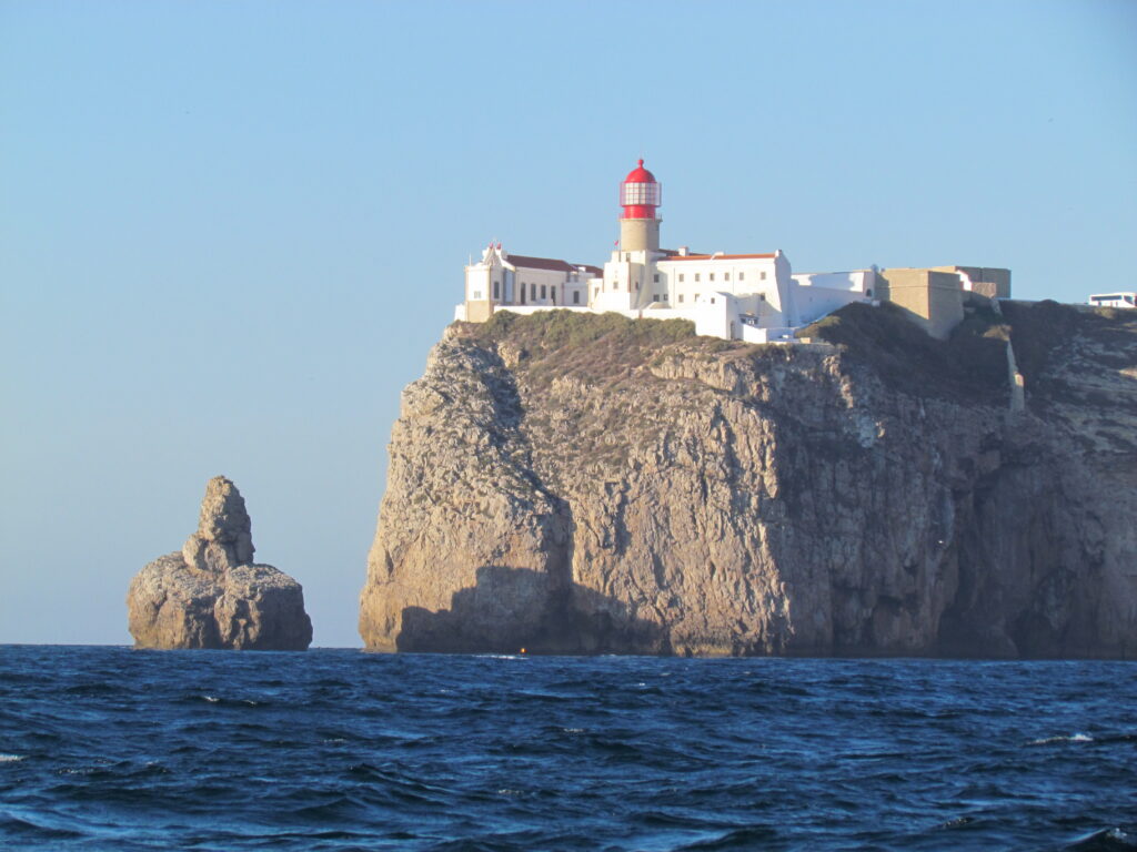
To the Romans, Cape St. Vincent was the end of the world. Now it forms the corner around which many sailors turn when heading south towards the Mediterranean or when starting a passage north.
In settled weather it is possible to anchor just east of the cape at Enseneada de Belixe, but beware of strong gusts even in gentle winds. We had approached the Cape with a northerly F3 gently blowing Emerald south under genny and a prevented main. However, as we pointed our bow east, katabatic gusts howled down from the cliffs. The gusts remained strong right until we were tucked up and anchored close to shore. This was our first stop in the Algarve and we had anchored 70 meters (200 feet) below a fort perched on top of the towering, limestone cliffs – it was amazing. As night fell, the beam from the lighthouse periodically swept across the grey walls, reminding us that this is not a friendly place to get caught out.
Sagres
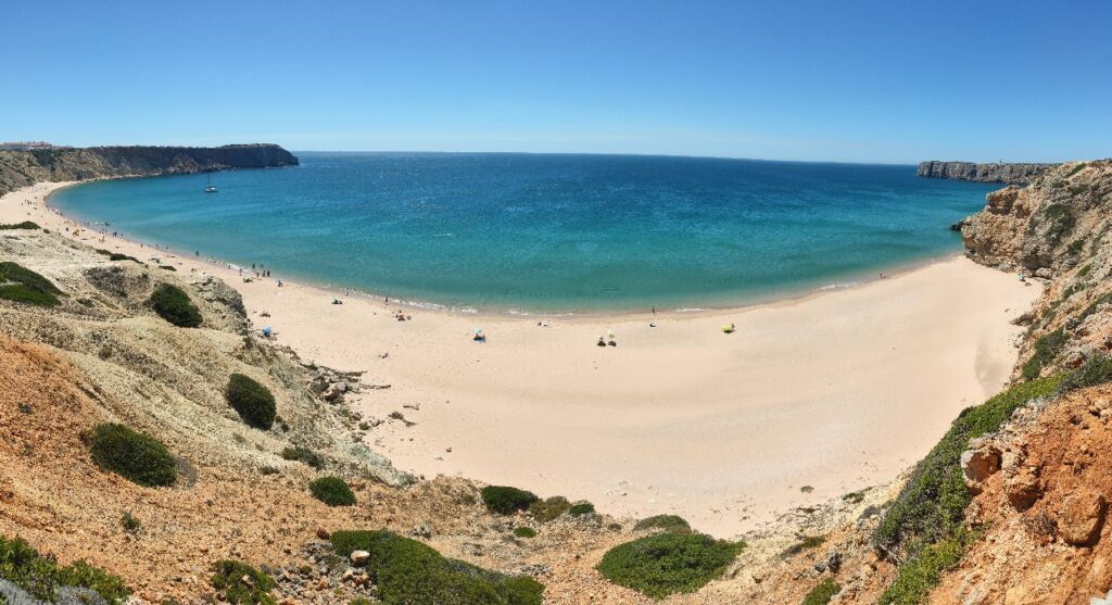
The first town when heading east is Sagres. Once there you will find a choice of anchorages at either the Enseada de Baleeira or Enseada de Sagres. The former has easier access to shore and the possibility of finding a mooring. However our preference is for the latter with its huge sandy expanse, protected from the swell by the Ponta de Sagres on which stands Henry the Navigator’s Fort.
Lagos
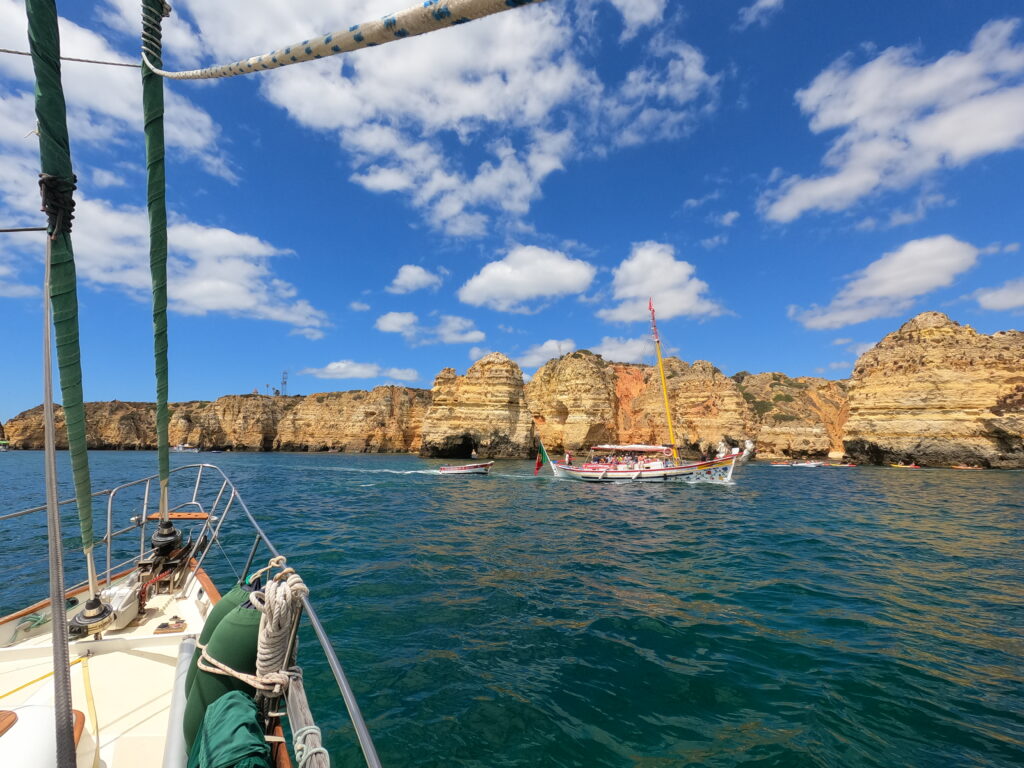
Pointing south from the town of Lagos, the Ponta de Piedade headland has a couple of daytime anchorages dotted along it. It’s a popular spot for trip boats and kayakers who come to enjoy and explore the fantastic weather carved rocks, caves and grottos. Given the right conditions, it is also possible to anchor off of the long sandy Duna Beach and take your dinghy up the river to access Lagos town’s facilities.
Alvor
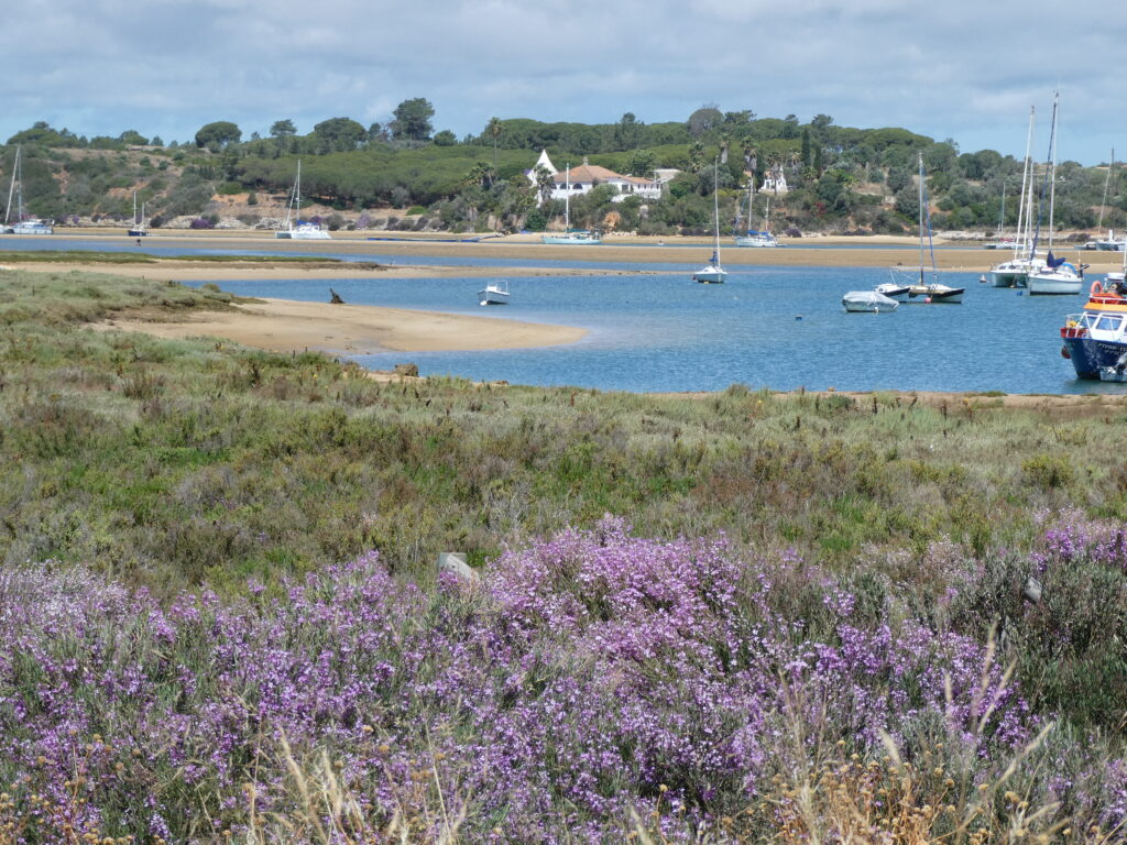
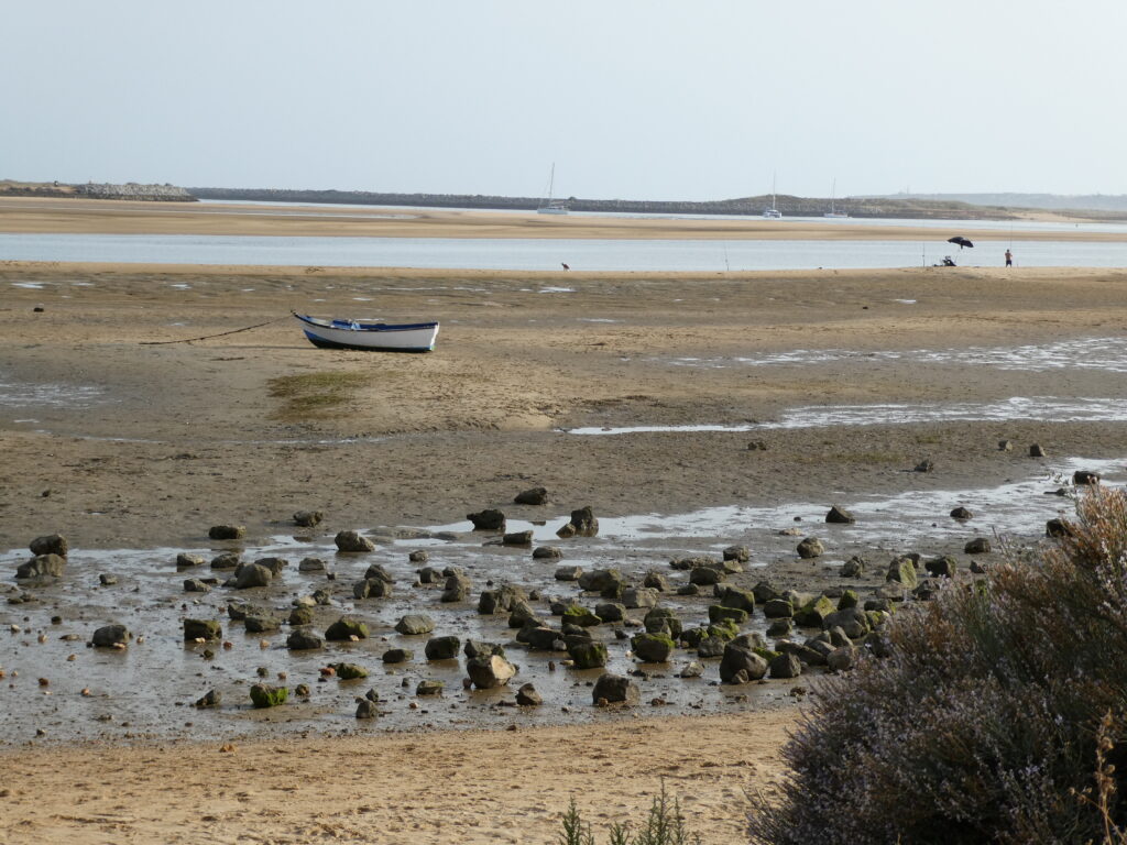
The Alvor estuary lies 2.5NM to the east of the entrance to Lagos, with two beacons on the end of concrete piers marking out the entrance. Inside is a large lagoon, formed by a river and sand dunes. Tides here cause the landscape to change dramatically every 6 hours or so. At high tide the sea covers the sand banks and kitesurfers make the most of the wide, sheltered waters. At low water only a narrow channel remains and sand becomes the predominant feature; these exposed sand banks become the domain of the shellfish pickers as they perform their backbreaking work.
Navigating within the channel should be done with care. There are two navigation buoys, but the sand banks within the channel are constantly on the move, so their position is no guarantee of safe depths. The recommendation is to enter and exit on a rising tide, starting at mid tide. At this time there should be sufficient water for a keel boat to float, yet the banks that line the route are still visible. We’ve followed this advice both times we have visited, but even so, we lightly bumped the bottom twice. It was reassuring to know that the rising tide would soon lift us off had we gone too far aground.
Alvor is a popular and busy spot, especially on the weekends. There is an anchorage just inside the entrance, and continuing up the river channel leads to the anchorage in the pool in front of Alvor town. It should be possible for a boat to squeeze in here, but much of this area is taken up with moorings for local boats.
Visiting yachts can also anchor along the Alvor channel, where the land with the quinta provides good shelter from northerly winds. This is a working channel at all states of tide, so yachts should try to short scope and tuck in to one side to allow boats to pass safely. When we anchored here, we initially found it disconcerting to have a sand bank just a few meters from our stern. However, the holding was excellent and our worries of going aground were soon gone.
We have returned here many times. We love the nature and the ever changing landscape, the bustling town and the working fishing harbour. And despite the town being touristy, it has most definitely managed to retain all of its charm.
Portimão
Further along the coast you will find the town of Portimão. On the way here you will see more amazing rock formations and, weather permitting, perhaps stop for a few hours and drop anchor at Praia do Alemão.
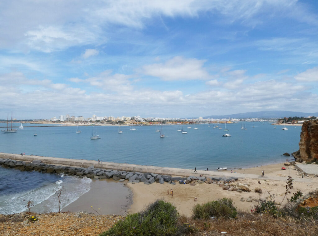
Portimão is a large town with ample facilities for stocking up on shopping and fuel. There is a marina, a good boat yard, well stocked chandleries and numerous other boat services. Most boats stopping here choose to anchor inside Portimão’s protective harbour walls which offer access at any state of the tide, and provide good shelter (other than during a southerly when a nasty swell can work its way in). Further up the river there is a small anchorage by the pretty fishing village of Ferragudo.
Between Portimão and Faro, the choices for stopping are limited. There is a small marina in Albufeira, and another at Villamoura. In fine, very settled conditions with no swell, the anchorage outside Albufeira is a vialble place to stop for a night too.
The Ria Formosa Lagoon
The next place where good anchorages can be found is the Ria Formosa. This tidal lagoon spans over 30NM from east to west. It is a designated nature reserve and in many places is too shallow to be navigated by keel boats.
The lagoon is enclosed by numerous sandy islands which form a barrier to the open sea. Millions of gallons of water are forced through inlets between these islands on each tide. The largest inlet, and the only safe entrance to the lagoon for a deep keel boat, is next to the lighthouse at Ilha do Farol. Here, strong currents and swirling eddies can create a maelstrom of seething water. Trying to enter against peak tide is likely to result in a huge reduction in boat speed, and may even prevent access for slower boats.

We always aim to time our entry and exit to either be with the current or during the relative calm of slack water. During one entry the current picked us up and swept us in at 10kts – there was little we could do other than go with it and enjoy the ride.
Culatra
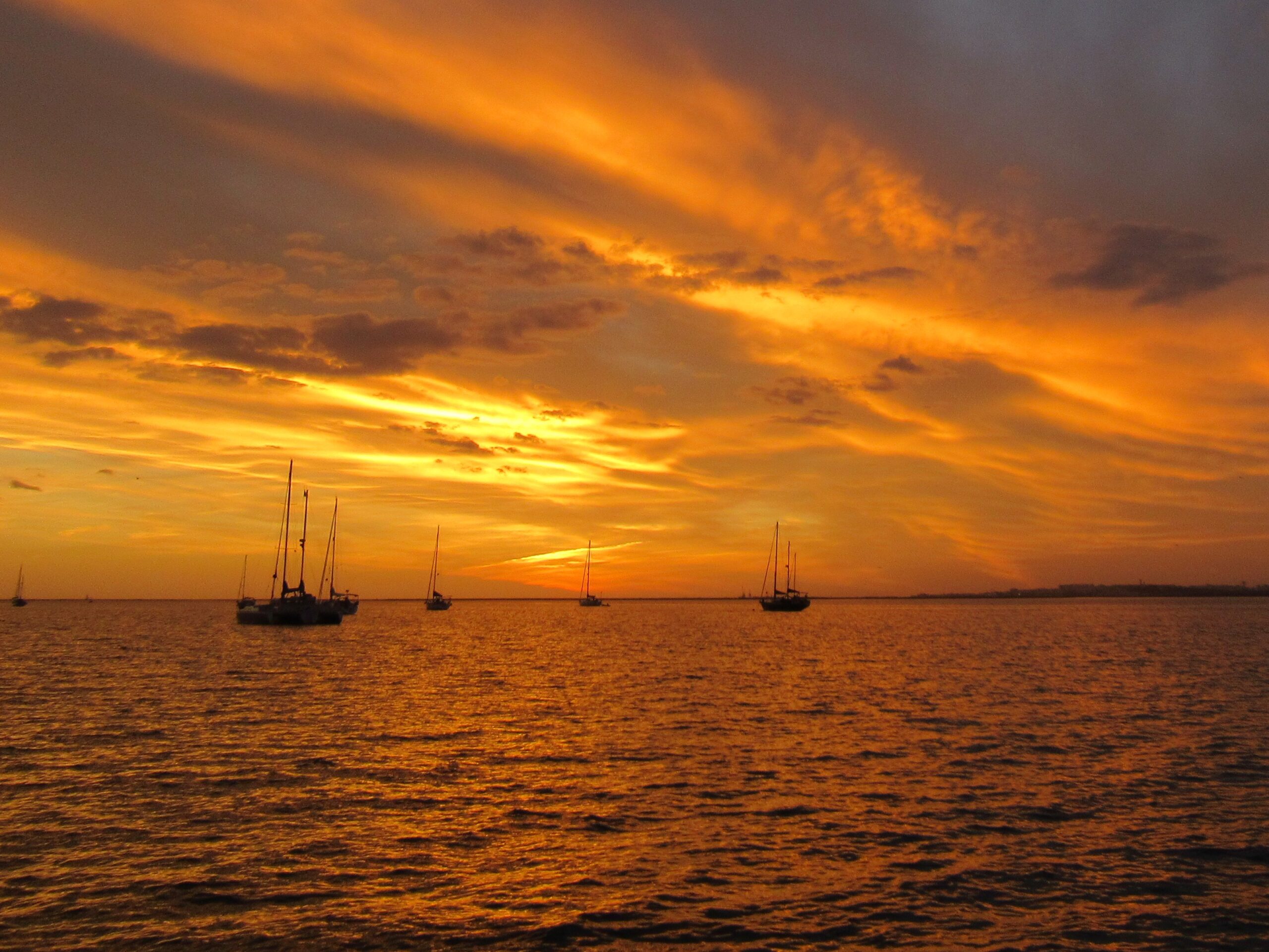
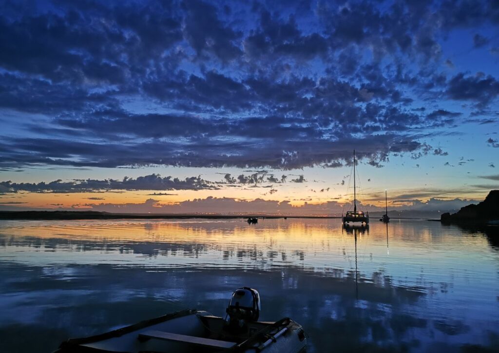
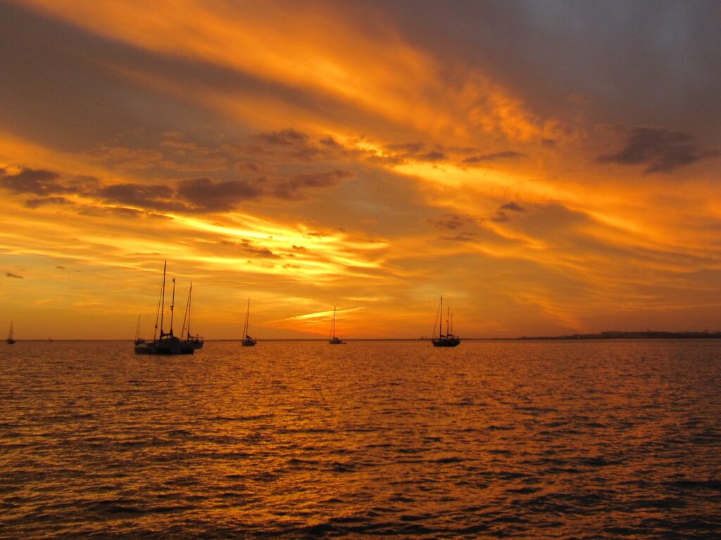
Once beyond the entrance to the lagoon, currents ease and a reasonable anchorage can be found. Better still though is to turn right at buoy number 6 and head up to the main anchorage at Culatra. This is one of our favourite places, with the best sunsets in the Algarve. It is a large anchorage and very popular spot, with hundreds of boats visiting during the summer months. Depths are around 5 to 6 meters (16 to 20 feet) and holding is excellent in sandy mud.
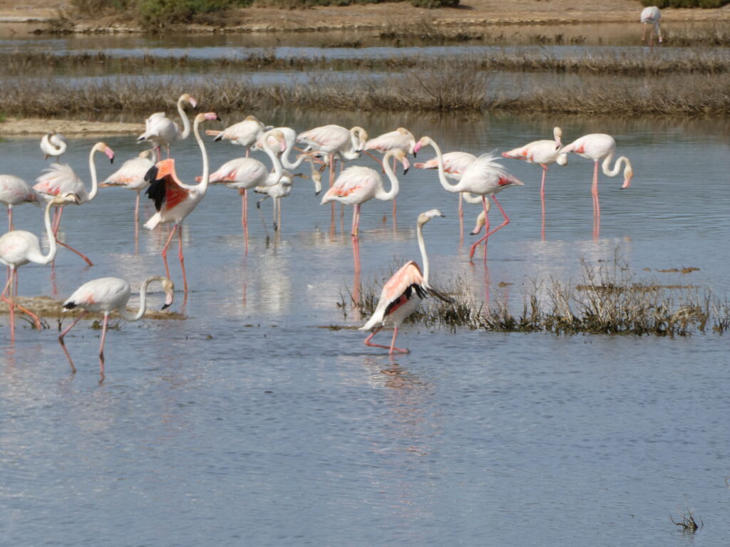
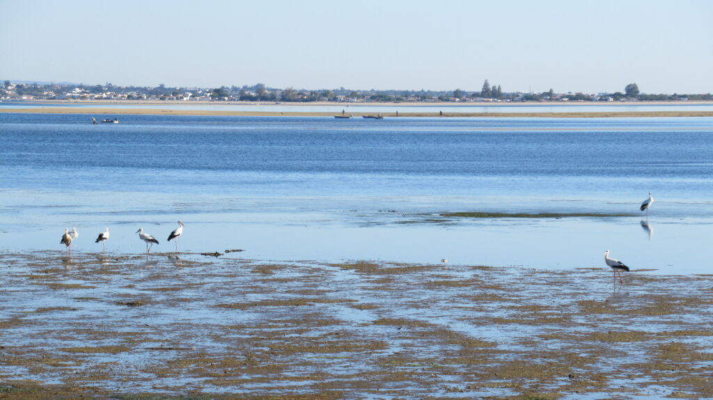
We keep finding ourselves drawn back to Culatra. On the nearby island you will find a working harbour with a space to tie up dinghies. The sandy streets of this small fishing settlement have a unique character, with inhabitants getting around on tractors instead of cars. Life takes on a laid back vibe here. We really enjoy walking along the boardwalk over the sand dunes and watching the many birds (sandpipers, oyster catchers and comical storks) enjoying the riches of the tidal lagoon alongside the fishermen.
The only downside for us is the frequent water taxis that buzz at speed through the anchorage. These are easy to avoid if you anchor at a spot with longer ride to the harbour which avoids the more direct route they take. Be aware too that in strong westerlies a chop can build up, especially with wind against tide.
The city of Faro
Turning left at buoy 6 will lead you in to the Canal de Faro. Fewer boats venture up here where the narrow channels and shoal depths limit navigation. Tides run quickly and at high water there is a long fetch in windy conditions. That said, it is very remote and a quiet night can be spent anchored in one of the deep water pools. It’s a longish dinghy ride from there through the shallow channels up to the City of Faro which is well worth a visit.
Olhao
We’ve never ventured up to Olhao with Emerald, as the busy and narrow waterway puts us off and there are limited places to anchor once you get there. Instead we take the ferry that runs between Culatra and Olhao year round, and also links to Faro during the summer. We preferred the ferry to our own dinghy due to the distance and the lack of safe places to tie up. If you choose to go by dinghy, a shortcut between the sand banks opens up for several hours around high water.
Olhao has a fantastic morning market and pretty waterfront gardens. There are restaurants galore, supermarkets and the small Sulcampo marine chandlery. Further out of town there is an industrial estate where you can find some basic boat services too.
The train station has services running east and west, with the eastern line running next to a hiking and cycling route along the Ria Formosa. We took the train to one station, then walked along the path to the next, enabling us to explore the beautiful wetlands without worrying about depths and currents. One of the most memorable places we visited was the Cemitério das âncoras (the anchor graveyard) – a memorial to the tuna fleet on Ilha de Tavira.


Tavira
The options for keel boats become limited beyond Culatra. It may be possible to squeeze in and anchor amongst the moorings at Tavira. If you are lucky, you might even find an empty one for a night. As at Culatra though, be prepared for strong currents when the tide is flowing.
The Rio Guadiana
At the easternmost end of the Algarve is the Rio Guadiana which marks the border between Portugal and Spain. The river is popular with cruisers, and offers good shelter with two marinas and good anchorages at its entrance. It is navigable far inland and offers a peaceful escape for those whose masts can fit under the bridge. There are many attractions here, and the river really deserves an article of its own to do it credit.
So what did we miss? Do you have a favorite anchorage we’ve not included here? Please let us know in the comments below and don’t forget to help us find it by including a link to it on the noforeignland map.

