Any boat trying to sail from New Zealand or eastern Australia to North America in a single season, runs into the same constraint before it runs into any weather – the calendar.
The South Pacific cyclone season typically runs November through April, pushing most departures into April or May. The North Pacific hurricane season officially begins in June, sometimes sooner. The result is a narrow window when the Southern Hemisphere season is winding down and the North Pacific season has not yet reached full strength, and the reverse transition at year’s end is considerably less forgiving.
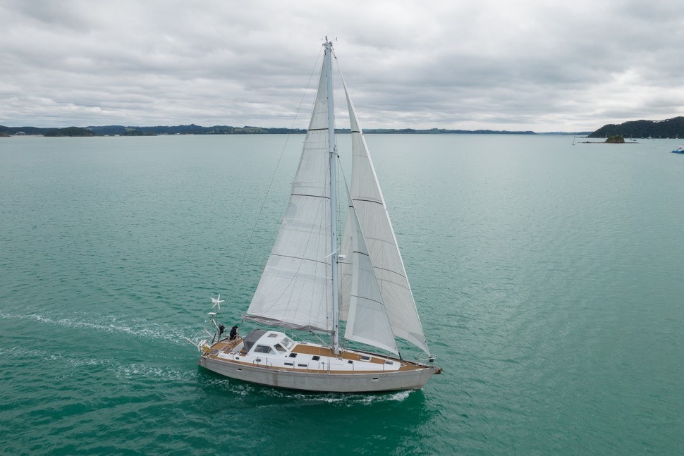
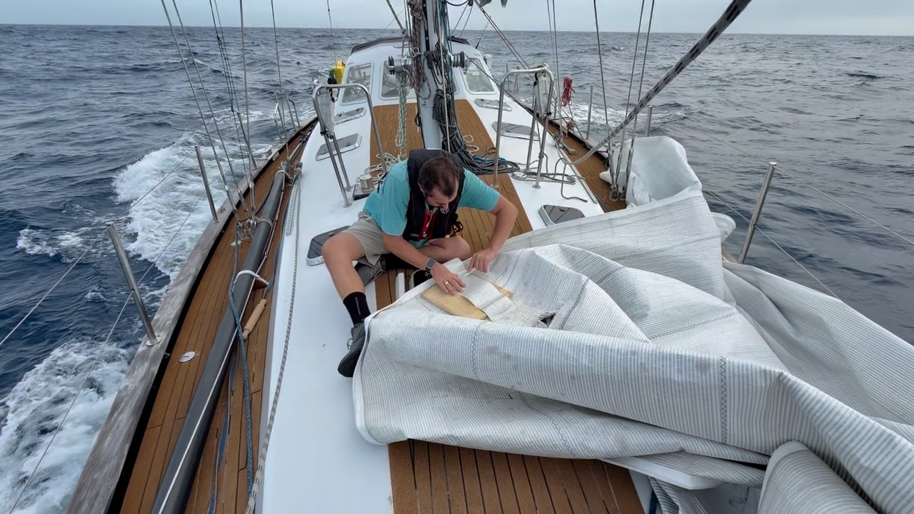
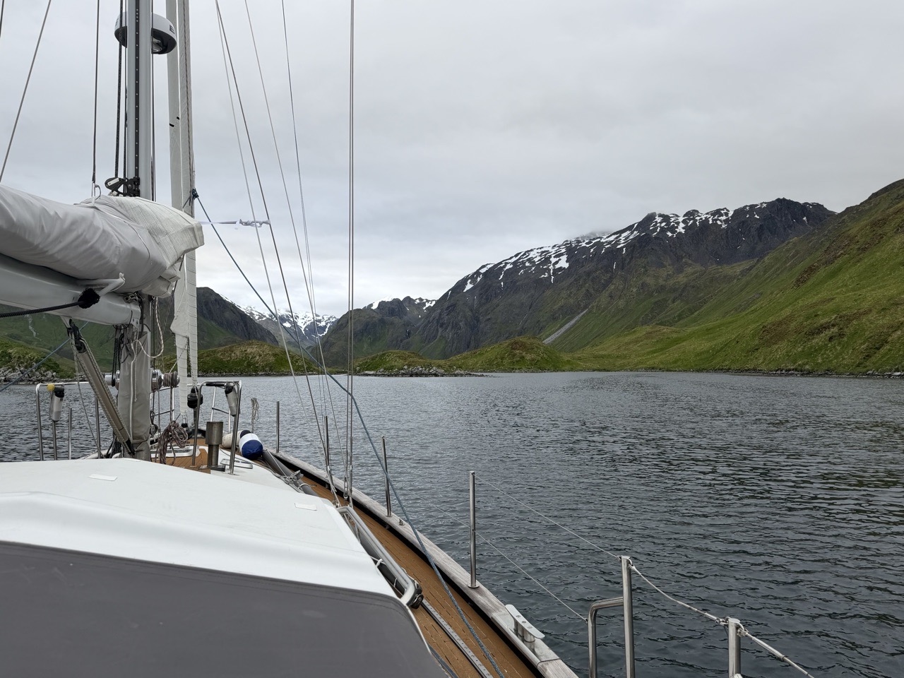
It’s a complicated crossing, and one I did this year aboard Adak, a 53-foot expedition sailboat that I bought in New Zealand and sailed to British Columbia.
Where to make landfall
Before choosing a route it is worth deciding where on the North American continent to aim for landfall, and here the instinct tends to mislead.
A boat bound for California or the Pacific Northwest naturally wants to steer straight for it, but direct landfall that low on the coast usually means fighting the same weather patterns that would otherwise help.
The North Pacific meanwhile, delivers boats efficiently to high latitudes. The westerlies and storm track run east across the top of the ocean, and in summer the North Pacific High settles offshore, sending prevailing northwesterlies down the length of the west coast. A boat that makes landfall in Alaska and then works south rides those northwesterlies on the beam or quarter, making for favorable coastal sailing with shelter rarely far away.
The counterintuitive result: Aiming for Alaska first and sailing south afterward is often easier and faster than a direct approach to a lower landfall, and only marginally longer. Depending on the weather, ports of entry range from Dutch Harbor in the west, through Kodiak, to Juneau or Ketchikan in the Southeast, leaving landfall to be a matter of conditions and how much of Alaska the crew wants to see southbound.
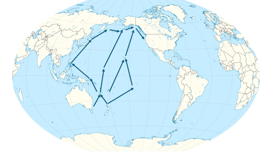
With the landfall understood as high on the continent, what remains is how to spend the window getting there. The three routes sailors consider — through Hawaii, through Japan, or straight up through the Marshall Islands — are not better or worse in the abstract; they answer different questions and cost different things. Choosing among them is less about which is best, than about matching route to objective and accepting the price.
The Hawaiian route
The route most sailors suggest (and take) runs from Fiji or Tahiti, to Hawaii, then to Alaska or the Pacific Northwest.
The genuine advantages are shorter legs, recognized waypoints where crew can join or leave, and a customs benefit that is easy to overlook. Clearing into the United States in Hawaii turns the Hawaii-to-Alaska leg into a domestic passage, which removes the port-of-entry constraint entirely; a boat bound for the Pacific Northwest can still make its first stop in Alaska, on weather and interest alone. Many boats run it every year, and the local knowledge is deep.
Considerations for the Hawaii route
What the route’s popularity oversells is shore support. Hawaii’s marine resources are thinner than a mid-ocean crossroads might suggest. Marinas are few and chronically full, and technical help falls well short of the mainland’s. A boat should not count on the islands for a major repair or an easy berth.
The cost is the wind. Most of the eastward travel to Hawaii is won against the trade winds, whose comfortable reputation assumes you are sailing with them, not into them. Working east means weeks close-hauled in twenty to twenty-five knots — slower, wetter, and harder on boat and crew than the same wind on the quarter.
There is also a timing cost. Weeks can accumulate in the Southern Hemisphere before the equator, and each one pushes arrival in the North Pacific later, closer to the season the boat was trying to stay ahead of. The route works, but the question is whether it is the most efficient way to spend the weather window.
The Japanese route
The route through Japan and along the Aleutian arc is the most rewarding of the three, geographically and culturally — and the one that most clearly stops being a delivery and becomes an expedition.
The geography sets the terms. From the tropics, the track climbs to the Japanese archipelago, where the warm Kuroshio runs hard to the northeast, shaping both weather and passage planning. From Japan, the great-circle route toward Alaska bends up along the Kuril–Aleutian arc. On a chart that arc looks like an island-hopping opportunity; it is not. The Kuril Islands are Russian, and a foreign yacht cannot cruise them — the process for a cruising permit reportedly takes months, often yearse. On paper, then, the leg from Japan toward the Aleutians is a long committed offshore passage across some of the North Pacific’s least forgiving water.
Kuril Islands
The accounts of sailors who have actually made it add a striking qualification: several, caught out by weather, took refuge in the Kurils with no permit at all. The pattern they describe is consistent: they radioed the coast guard, were escorted to a designated moorage, and spent a week or so waiting out the weather under close supervision — unable to go ashore or visit other boats, monitored throughout. But the treatment, by their accounts, was dignified, and in more than one case generous — sailors described the coast guard delivering provisions at no charge, and one account had a tanker diverted to refuel waiting yachts, again at no cost.
None of this makes the Kurils an option. They are a legally closed coast, entered only in genuine distress, at the discretion of the authorities, and against a political backdrop that gives no one reason to count on goodwill. But it changes the arithmetic of the route: the passage from Japan to the Aleutians, which reads on paper as one of the more exposed legs in the North Pacific, is in practice less isolated than its length suggests. Refuge exists along it — refuge under surveillance, in a country you have no permission to enter, but refuge nonetheless. It was the most surprising thing to come out of talking to people who had sailed it.
-
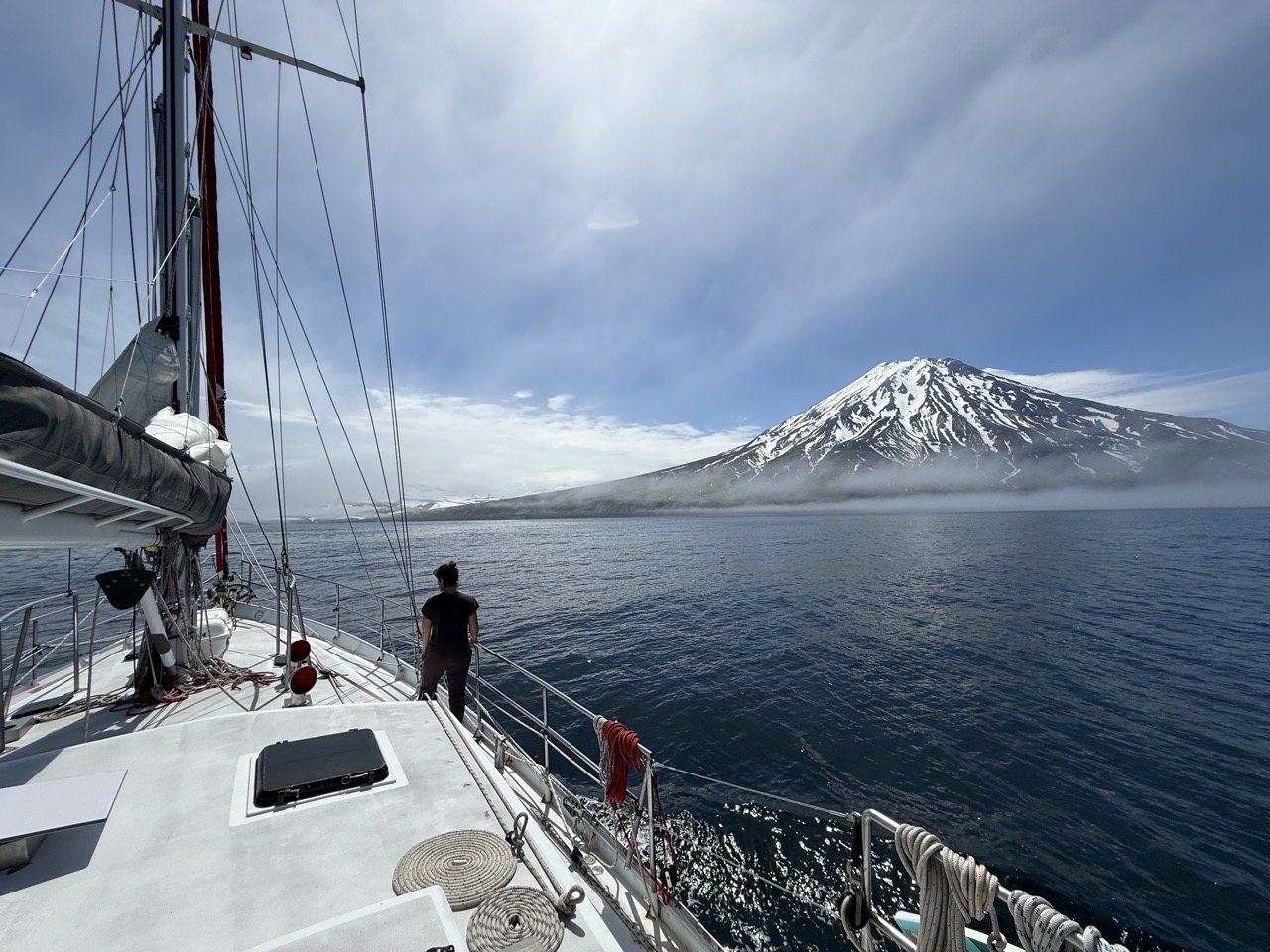
- Sailboat stopped in Krasheninikov Bay after being granted safe harbor under Force Majeure. A fully-manned 250-foot Russian Coast Guard ship anchored and watched them 24/7 for six days.
Making landfall in North America
The same argument surfaces at the American end of the arc. Boats crossing from the west raise the outer Aleutians — Attu among them — 800 miles before Dutch Harbor, the first official port of entry, is within reach. Some land there anyway and clear customs afterward, citing refuge to justify the stop; others do not. Our own approach came in through the western Aleutians, and when we asked U.S. Customs and Border Protection to clear us remotely at Attu, the request was refused; we did not land, despite several major technical problems aboard. Everyone decides for themselves how to use the refuge exception.
Seasons
The seasons compound the problem. To reach Japan before the western North Pacific typhoon season builds — a long season, peaking in late summer and autumn — a boat generally has to leave New Zealand earlier than the tail of the southern cyclone season makes comfortable. At the northern end, the Aleutians are still emerging from winter as the typhoon calendar pushes you north. The windows at each end do not overlap cleanly — two seasons that want different things.
Less a crossing, than an expedition
Add multiple international clearances and Japan’s historically demanding formalities, and none of this makes the Japanese route a quick way to North America. What rules it out as a single-season delivery is not the exposure of the final leg — which is less than it appears — but the timing. The two seasons at either end pull in different directions, and no amount of goodwill in the Kurils resolves that. This is a route to sail for its own sake, by a crew whose objective is Japan and the northern rim of the Pacific. It should be chosen as the expedition it is, not as a shortcut.
The direct route
For a boat whose only objective is to reach Alaska within the season, the fastest sensible use of the window is also the one fewest sailors consider: leave the tropics as directly as possible. New Zealand, New Caledonia, Majuro in the Marshall Islands, then Dutch Harbor in the Aleutians.
The logic is to stop fighting east and start climbing north. Rather than working against the trades toward Hawaii, a boat on this route heads north, exits the hurricane belt before the North Pacific season becomes active, and then lets the prevailing westerlies carry it east toward Alaska. Nouméa, at roughly 880 nautical miles from New Zealand, makes a natural first stop — far enough to surface problems, close enough to fix them before the longer legs.
Wind and motoring
That directness comes with a catch: this is not a windy route. The same benign weather that lets a boat leave the tropics ahead of the season also brings long stretches of light air. A boat may need to motor roughly half the distance from New Caledonia to Dutch Harbor. That is only possible with the fuel to do it. Without it, the calms would stretch the passage out, and every extra day at sea drags a boat deeper into the developing hurricane season. On this route, fuel is not a convenience — it is what turns benign weather from a liability into an advantage.
Stopping in Majuro, Marshall Islands
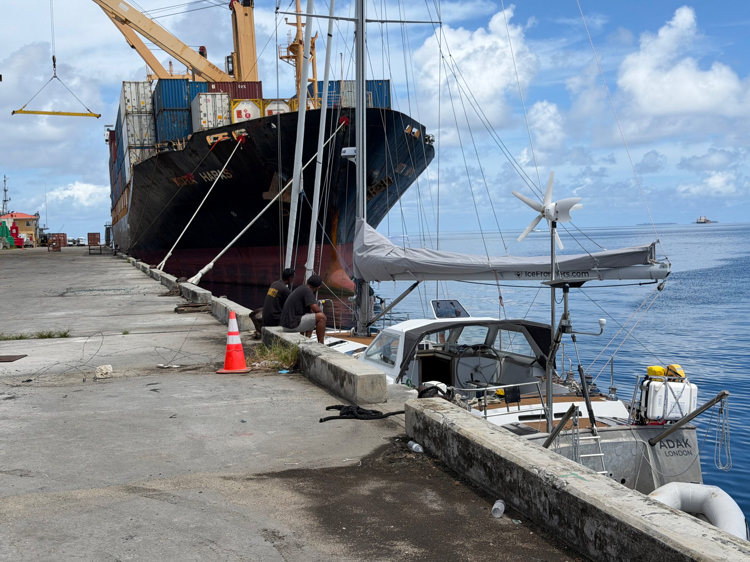
Fuel makes Majuro the pivot; effectively the last practical fuel and provisioning before Alaska, where taking on serious quantities of diesel is a project in itself. There is no marina-style fuel dock. A boat with small tanks can jerry-can fuel from a gas station 25 liters at a time, but that does not scale to for boats with larger tanks. For thousands, the only option is the pipeline connected to the island’s tank farm — infrastructure built for ships that hundreds of thousands of liters at once.
Using it means getting a quote from a fuel broker in California, an appointment with the local distributor, a bunkering permit, a visit to the EPA, and finding right fittings to mate a yacht to industrial-scale plumbing. The process is best begun about a week before arrival and can still take the better part of a day on site. Refueling in Majuro is a scheduled industrial operation, not a fuel stop.
From Majuro, the route runs some 3,000 nautical miles to Dutch Harbor — a long, committed leg across latitudes where tropical systems can still organize, which makes forecasting less certain than at either end. A climatology study from Weather Routing, Inc. found it reasonable for the season, and it has broadly behaved as predicted.
What a boat will not find out there is company. After a handful of fishing boats early on, almost nothing for thousands of miles. Majuro’s customs officers report seeing on the order of ten yachts a year. The route trades waypoints, community, and bailout options for directness, which is also why the fuel has to be aboard before you leave.
Choosing the route, not ranking it
Laid side by side, the three routes are not a ranking but three answers to three different questions.
If the objective is Japan and the northern rim of the Pacific, the Japanese route is the one, taken as an expedition, with two seasons to manage, not as a shortcut.
If it is a proven track with recognized waypoints, the Hawaiian route answers, at the cost of the upwind easting and the timing drift that comes with it.
And if it is simply to reach Alaska in a single season, the direct route through the Marshall Islands is the most efficient use of the window, at the cost of a long committed leg, near-total isolation, and a dependence on fuel that has to be solved before you leave.
The season does not reward the most scenic route, or the most popular one. It rewards the route whose windows line up with what you are actually trying to do. Decide the objective first; the route follows from it — and so does the cost of the passage.

By Jean Peccoud
Jean sails ADAK, a 53-foot expedition sailboat, toward remote and cold places few people visit. Ice Frontiers grew out of that journey; an exploration of remote communities, changing environments, and what happens when the weather cannot be predicted, the chart cannot be trusted, and help is thousands of miles away. In 2026, he sailed from New Zealand across the Pacific to British Columbia, through Alaska.