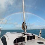
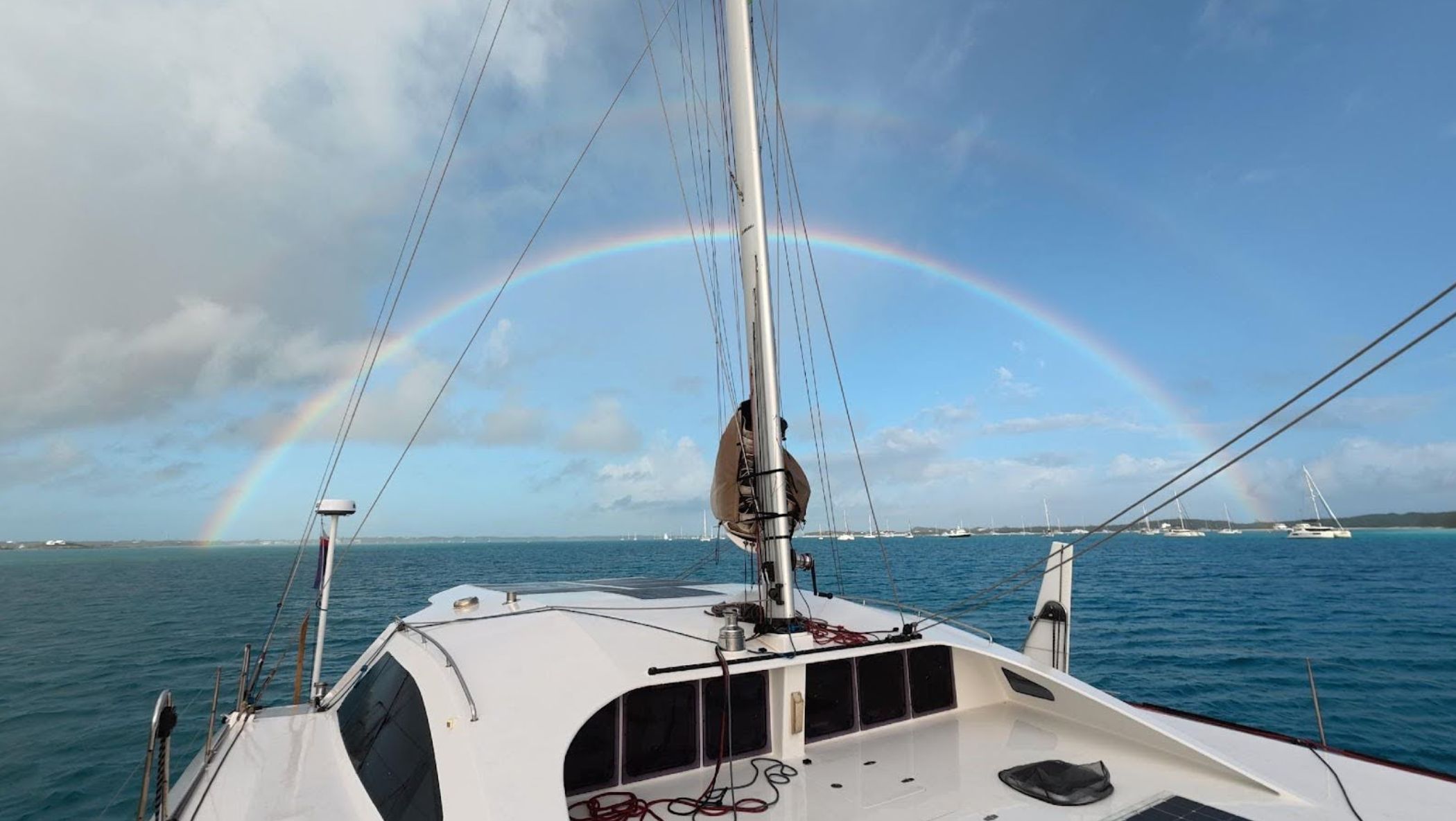
An experienced sailor, Katja reflects on her time cruising the Bahamas, an experience that completely changed her preconceived ideas of what it was like.
Let me start by admitting that when my husband suggested that we stay another season in the Caribbean to cruise The Bahamas, he wasn’t met with enthusiasm. I thought that the water colors were photo-shopped and the raving reviews exaggerations by people who hadn’t see much of the world.
It took just a few days to prove me wrong.
-
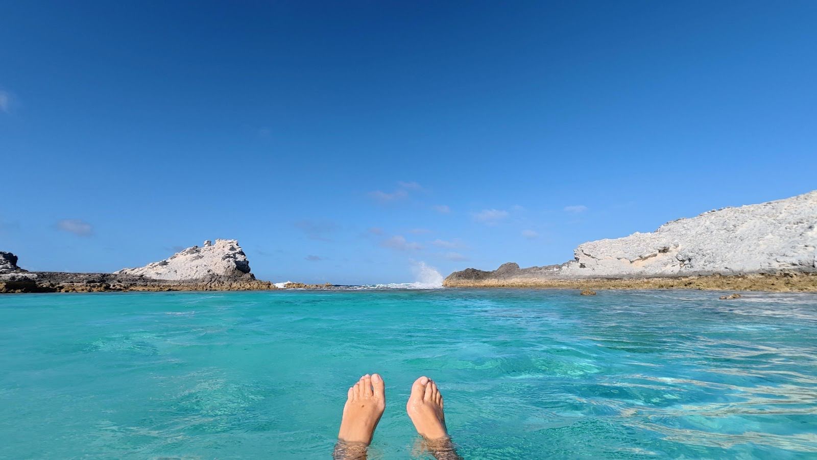
- Black Point natural swimming pool, Exuma
Geography and winds
Starting with the logistics of geography and winds, the Bahama island chain consists of seventeen groups of islands extending over 500 miles, from Grand Bahama in the north-west, to Mayaguana in the south-east.
The Tropics start around Georgetown, capital of the Exuma-chain, so for pleasant temperatures don’t cruise the northern islands before April. During the prior winter months, cold fronts pass through the chain regularly from north to south. These decrease in frequency and reach ever less south as spring approaches. When a cold front passes the wind veers from the usual easterly trades, turns south, and then, while increasing in force, turns toward west and north-west.
Bahamas Meteorology publishes excellent long and short term forecasts on their Facebook site, including early warnings of such an approaching cold front. You are advised to seek a suitable anchorage, of which there aren’t many, as we tend to cruise the trade wind protected west side of the islands. If you plan to seek shelter from a cold front in one of the few marinas, check the price and reserve beforehand to avoid unpleasant surprises. The advantage of a passing cold front is that you can use it to reach the south-east side of the islands chain without battling against wind and waves.
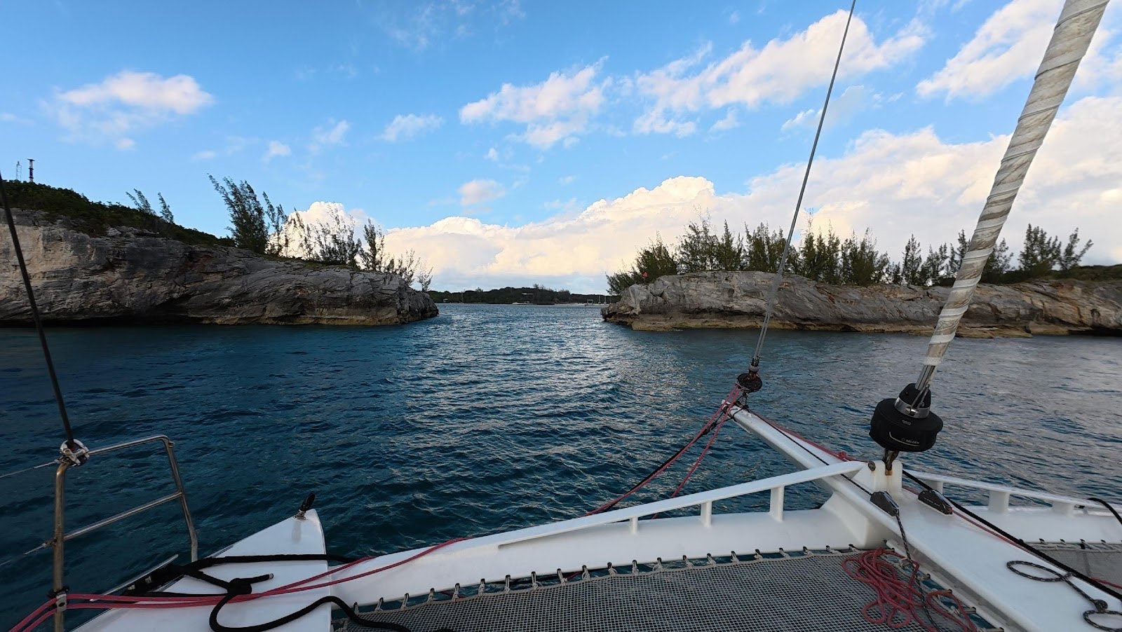
-
- Georgetown, Exuma
-
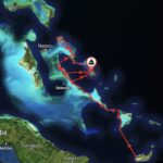
- Faidapiu’s Bahamas cruise

-
- Anchored in 3ft at Thunderball Grotto

Cruising insights
Before arriving in The Bahamas, I read a Facebook post by a cruiser who after many Bahamian seasons had descended to the Lesser Antilles and Windward Islands. He didn’t like it; too complex to cruise a dozen countries with troubled water and difficult holding in full and rolling anchorages.
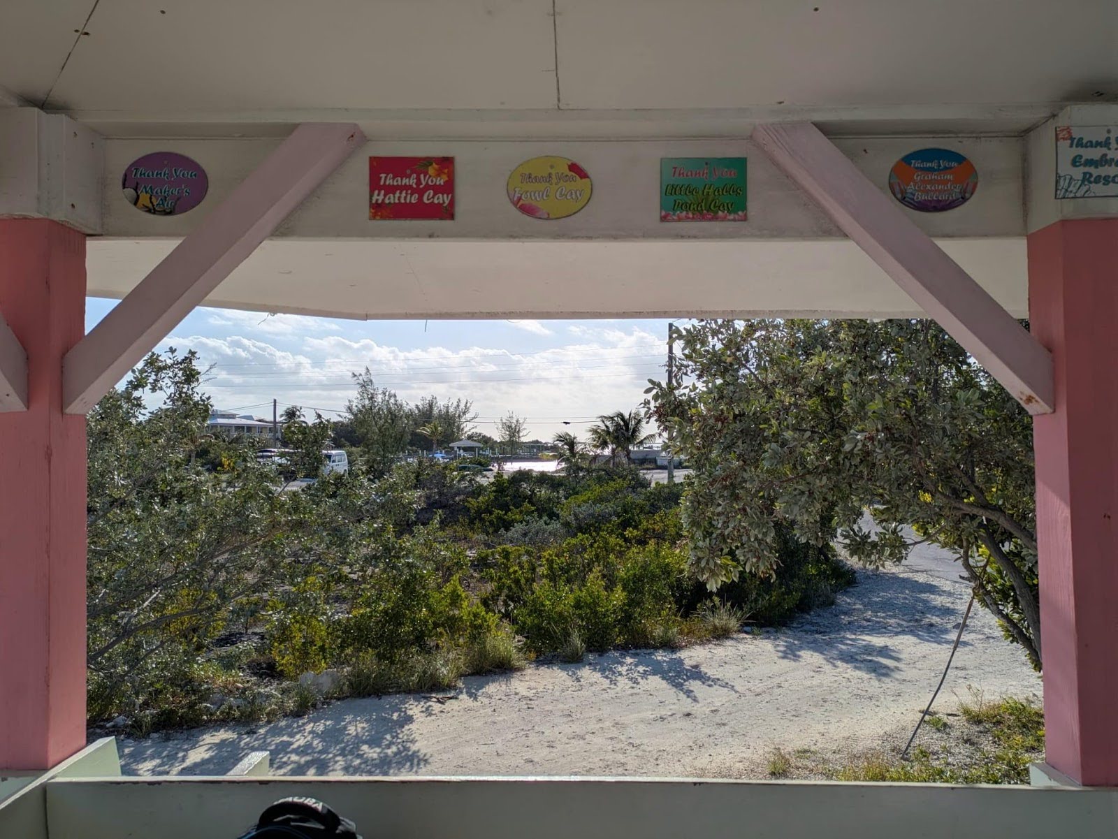
It is true that in comparison to the Caribbean, The Bahamas is very easy. You drop anchor close to an immigration & customs post, and they stamp your passport (little unclear for how many days, but it can be extended), as well as your temporary cruising permit and the anchoring permit that you paid for beforehand.
You aren’t allowed to speargun (only slings) but they don’t confiscate it, and you also get to keep your drone, but if you intend to fly it make sure you apply for a permit beforehand. If you want to fish and the season is open, you pay a monthly fee depending on boat size:
- $100 per 30 days for boats below 50 feet
- $300 per 30 days for boats above 50 feet
If you visit parks, like the iconic Warderick Wells, you pay an additional mooring fee at the park office. You can kite everywhere, you can drop your anchor anywhere – always on sand. When there’s wrap around swell, it’s because the anchorage is an exception, like at lighthouse. You can enter lagoons and think you dropped anchor in a swimming-pool, and seek shelter from a passing cold front in one of several lake like anchorages, such as Hatchet Bay.
-
- The narrow entrance to Hatchett Bay, Eleuthera
New cruising fees for the Bahamas
Since we were there, the cruising permit fees have changed. These are the current fees for cruising in the Bahamas, which came into effect on April 1, 2026.
| Vessel Length | Duration | Temporary Cruising Permit Fee | Anchorage Fee |
|---|---|---|---|
| Up to 30′ | 30 Days | $150 with no free re-entry | $50 |
| 31′ – 50′ | 30 Days | $250 with no free re-entry | $100 |
| 51′ – 100′ | 30 Days | $350 with no free re-entry | $100 |
| Up to 50′ | 6 Months | $300 with 1 free re-entry | $150 |
| 51′ – 100′ | 6 Months | $750 with 1 free re-entry | $350 |
| Up to 50′ | 12 Months | $500 with 2 free re-entries | $200 |
| 51′ – 100′ | 12 Months | $1,000 with 2 free re-entries | $350 |
There is another, higher level of fees for vessels over 100′, and be aware that for vessels with 4+ passengers, each additional person over age 6 costs an extra $30.
Instead of a Temporary Cruising Permit, it’s possible to get a Frequent Digital Cruising Card (FDCC), which allows for unlimited visits for up to 2 years, costing $1500 for vessels under 50′ and $2500 for vessels 50′ to 99′.
Looking at the anchorage fees, these apply to foreign vessels not mooring at a marina, and for bigger cruising boats, it’s important to know that foreign vessel over 50′ must have AIS working and on at all times, or it is a $1000 fine.
Useful resources
To get a feeling for the Bahama cruising grounds, nothing beats the A3 Explorer Chartbooks – just don’t be surprised if you buy all three of them but end up staying in the Exuma-chain for the whole season, many cruisers do.
When we arrived in Georgetown, Exuma, I checked the journeys on noforeignland (NFL) of the boats around us. I then invited myself over to the one who had been cruising the area for the past 25 years, bringing my Chartbook. They taught me the challenges of cruising the islands, snorkel spots, the when and where for regattas and local festivities, and good anchorages for when a cold front arrives.
NFL has basically covered all anchorages and shore activities, but seeking additional input helps make for safer sailing decisions, and unfortunately we did meet cruisers who ran aground on a reef or washed up on a leeward beach.
-
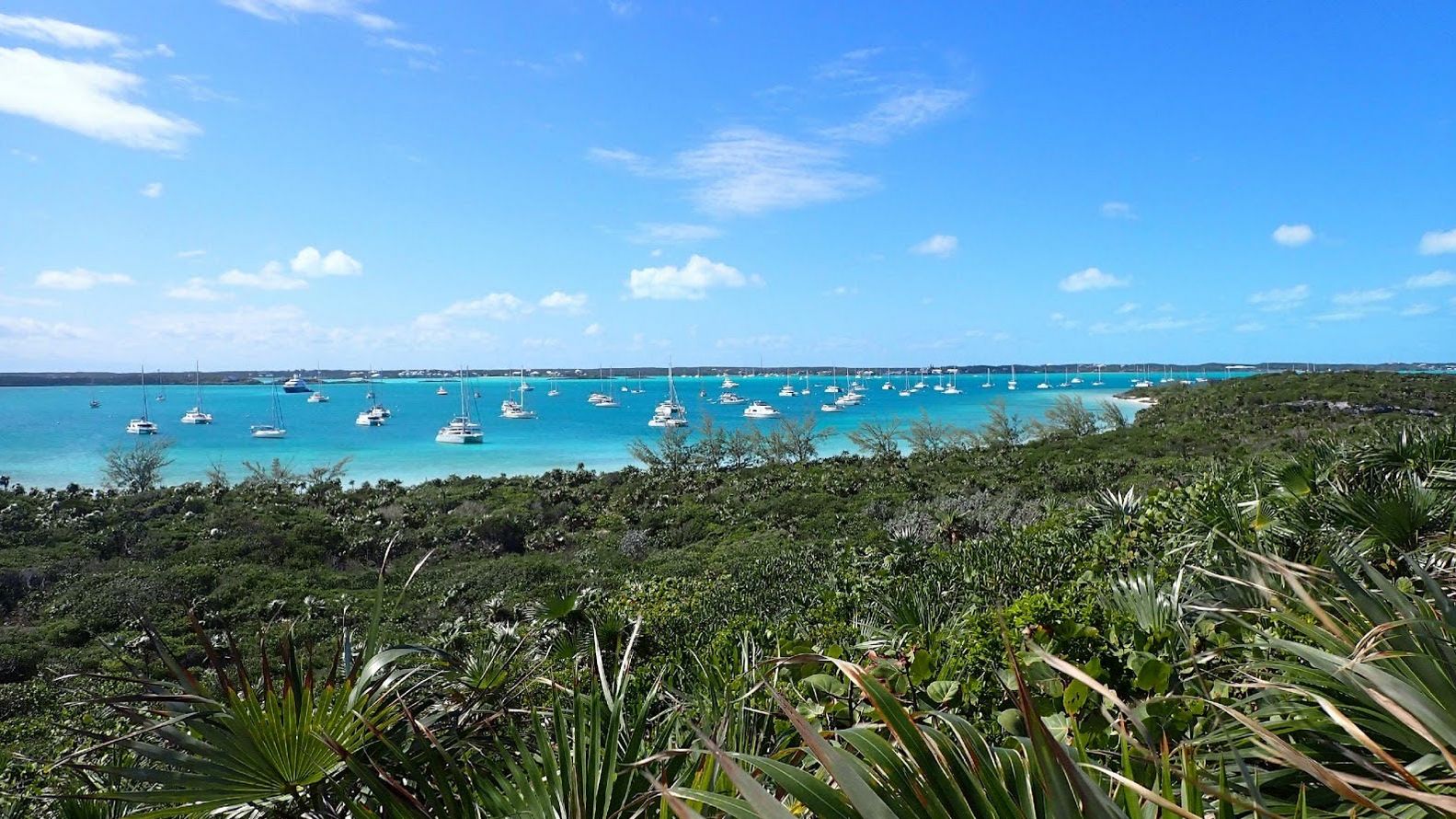
- Georgetown, Exuma
Challenges of sailing The Bahamas
There are a few key challenges of sailing this region, largely centering around tides and depth.
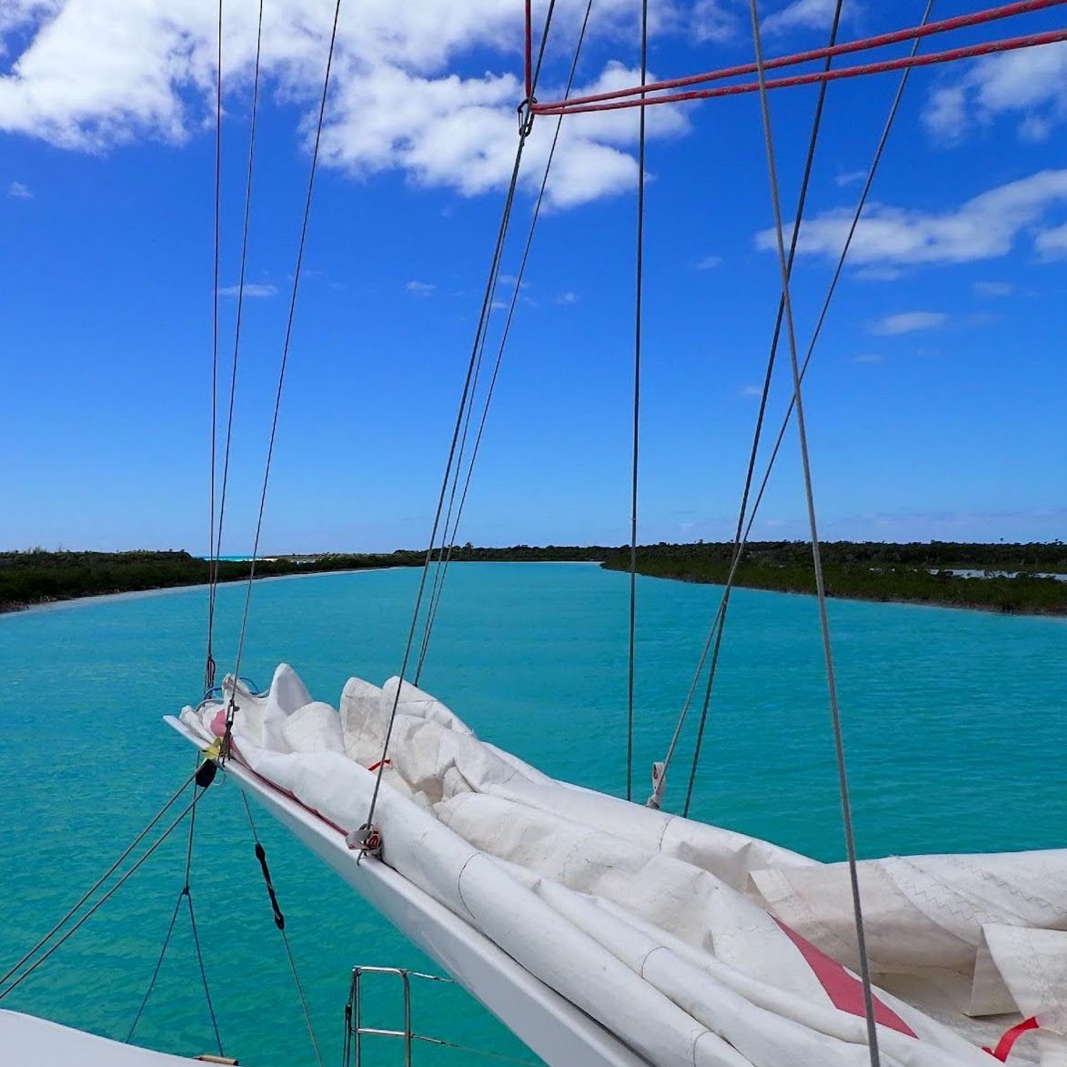
Draft and Magenta lines
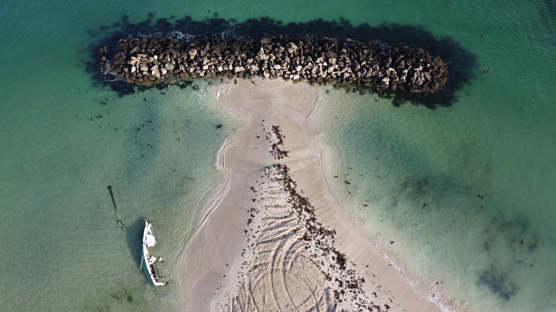
Your draft is the main challenge when cruising The Bahamas. With less than 6 feet (1,80m) you will be fine, and with less than 4 feet (1,20m) you can explore everything – at high tide at least.
While the tidal difference isn’t big (3 feet /1m), it often makes the difference when taking a ‘shoal draft route’ crossing a VPR (visual piloting rules) area. Such routes are chartered with a dashed red line (referred to as ‘Magenta line’) at around 3 feet (1m) depth and may well include coral heads slashing the depth in half.
These Magenta lines cut miles off your trip by sailing over a sandbank, for example Hog Cay Cut, or by allowing you to stay on the Exuma Bank, as we did from Leaf Cay to Rudder Cay by taking the Pimblico-route. Our plotters (C-map and Navionics) usually don’t route on a Magenta line, which is one of the reasons I found the Chartbooks invaluable. They give you an overview of the possibilities, which I then force the plotter to route with additional waypoints.
Island specific challenges
Every island group brings it’s own additional challenges. For example, you wouldn’t be well placed on Cat Island or Long Island during the passing of the cold front with westerly winds.
In the Exumas, you really can’t cruise without going through cuts, and I highly suggest you read the relevant Chartbook’s chapter devoted to piloting them. The wind and the tidal flow needs to be in the same direction when you use them, unless there is no wind or swell at all. It’s no exaggeration that waves pile up when you exit the Exuma Bank to the Exuma Sound in an easterly force 3 and a fast falling tide.
It also pays to talk to long time Bahamian cruisers to gain local insights: they showed me to use the Rat Cut in cases of stronger easterlies as it runs N-S.
Provisioning
Not one, but two noforeignland articles have been written about provisioning in the Bahamas, because it is an additional challenge. Not so much for the price – I expect things to cost double when on an island paradise as opposed to home – but for the availability… or rather, the unavailability.
Food and beverages
All islands are provisioned by ‘mail-boat’ and on some islands the boat only comes three times a month. It’s perfectly normal to lay your cruising route according to the mail-boat, arriving at the anchorage the day after the island shop has been provisioned, but even then you might very well be disappointed.
A common question on the 9AM cruiser-net at Georgetown, Exumas (that probably hosts the biggest concentration of Bahamian cruisers) is the availability of eggs. When we were there, bad weather (i.e. a long cold front) caused delivery problems, and we found the fresh produce shelves literally empty. Soon, we all turned into shoppers who buy whatever is on offer and plan the boat dinners accordingly. Most food shops have freezers so my main problem was with anything fresh: fruit, vegetables, bread and milk products, besides the eggs. There is no local production, except in some specific places, so everything is imported from North America.
Boat cards
-
- Feed the Big Major creatures

-
- Fernandez Creek, Cat Island

-
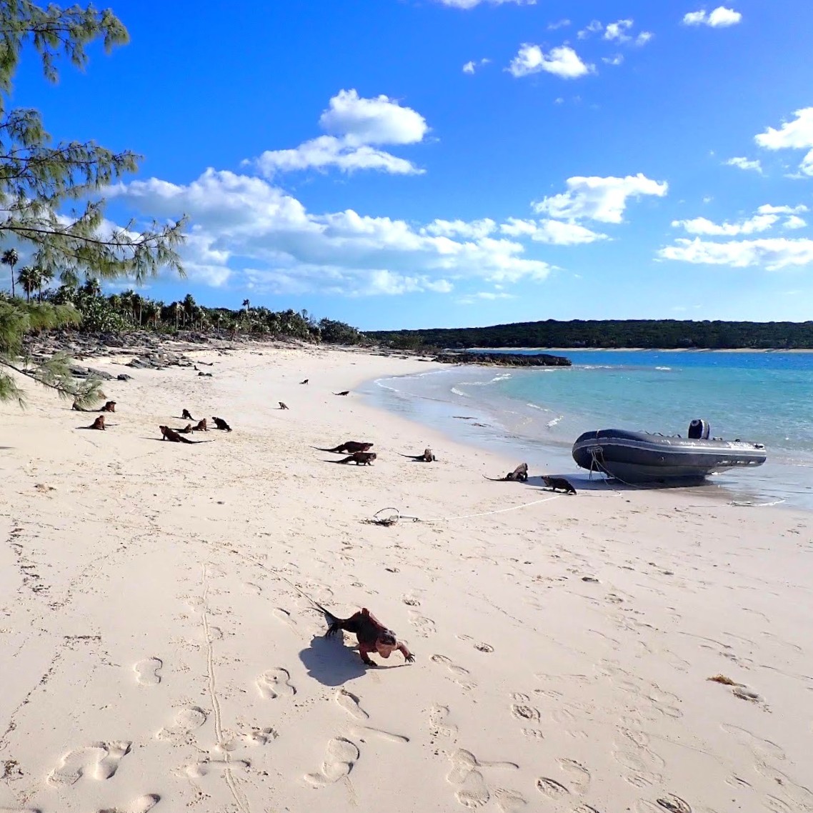
- Feeding Leaf Cay natives
Visiting guests
It’s likely that family and friends will want to join your Bahamian adventures. We told them they were very welcome, but only if they were willing to fly to Nassau then book last minute internal flights.
Every little island has an airport a short walk from a dingy dock, and companies with loving names like Flamingo and Pineapple Air fly there. We found this ‘planned flight + last minute flight’ agreement kept everybody happy. The captain got to sail by the weather, and I got to explore these amazing cruising grounds with people from home who joined us wherever we were at the time.
-
- Staniel Cay Airport lounge, with a view of dinghy dock
Final thoughts
As things turned out we only cruised The Bahamas for two months, thanks to the inevitable repairs that all cruisers fall prone to. The island chains we have seen (7 of the 17) are surprisingly different, with a totally different vibe and things to explore. They have only two things in common: gin coloured water (even in mangroves) and wonderful Bahamians.
I wrongly pictured The Bahamas as a few overfull picture card anchorages, but the only place we saw with a large concentration of boats was Georgetown. The rest, even the famed and indeed not to be missed Warderick Wells, are pleasant, with just a handful of cruisers for company. When you want to be completely alone, you move five miles and there is just you, the stars and the water like the Alligator Creek on Cat Island.
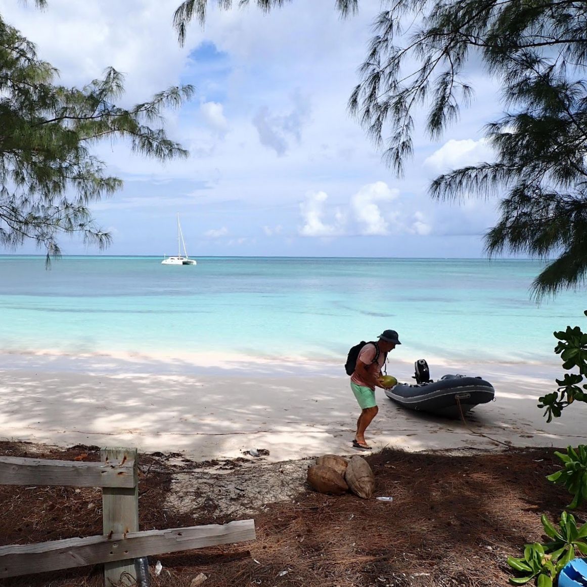
The only disappointment is the absence of palm trees, as there have only been a handful of anchorages where a tree was conveniently placed to dinghy some coconuts back to the Faidapiu. At times cruising life can be tough!
Been to the Bahamas? What’s your best inside tip?
If you’re planning to go, be sure to check out the noforeignland Bahamas sailing guides, or other cruiser written articles.

By Katja Giannini
Katja and Fabio Giannini, a Danish/Italian couple, crossed the Atlantic in 2002-2004 on Faidate, their homebuilt Van de Stadt 47, with their three small children on board. In 2022 they set out again on Faidapiu, a Schionning Arrow 1500 catamaran. In 2023 they cruised the Mediterranean, in 2024 Brazil and they have been in the Caribbean since 2025. Katja put her thoughts about cruising life on paper and it can be downloaded on their website.